Who we are
Founder-built, not a drafting queue.
Baseline Mapping was founded by Joel and Ashlee Mackereth. The person who builds your map is the person who answers the phone — and that is the whole reason we cap how much work we take on.
Baseline Mapping was founded by Joel and Ashlee Mackereth. The person who builds your course map is the person who answers the phone, and that is the whole reason we cap how much work we take on.
Baseline Mapping was founded by Joel and Ashlee Mackereth. We agree every piece of work with you, and what it would cost, before it starts.
What we actually do
We take aerial imagery, LINZ records and whatever you can give us — an old farm map, a waterline diagram, a scribble on the back of a feed docket — and turn it into a proper spatial dataset of your farm. Then we hand you the maps and the files, and keep correcting it until it is right.
We take existing imagery, terrain data and the records you hold, such as irrigation and drainage plans or an older course map, and turn them into a proper spatial dataset of your course or site: hole sheets, surface areas and management zones. Then we hand you the maps and the files, and keep correcting it until it is right.
Alongside the mapping, we take on software development, solution finding, websites and apps, Xero setup and ongoing IT care for small businesses and organisations. Each piece of work starts with a conversation about what you need, and we agree what we would do and what it would cost before it starts.
Joel works in land information and has spent his career in GIS: geodatabase design, cartography, and the unglamorous quality-control work that decides whether a map is trustworthy or just attractive. Ashlee runs operations, quoting and the books, which is why quotes come back in a day and invoices are not a mystery.
Between us that is the whole operation, deliberately: the people who answer the phone are the people who build and check your map.
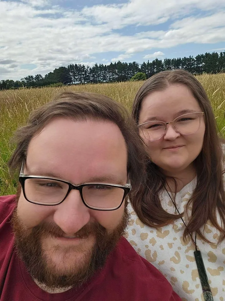
The founders
- Joel Mackereth
- Mapping, geodatabase design, cartography and quality control. Builds every map that leaves here. Works in land information for a regional council.
- Ashlee Mackereth
- Operations, quoting, invoicing and the bits that keep the wheels on, which is why the paperwork side actually works.
Based in Palmerston North, Manawatū-Whanganui. Working with farms throughout New Zealand.
Based in Palmerston North, Manawatū-Whanganui. Mapping courses and turf sites remotely, worldwide.
Based in Palmerston North, Manawatū-Whanganui.
How we work
Four things we hold to.
We tell you when we can start
Every map is built by a founder, so we confirm your start and delivery date before you pay. When we are booked up we tell you the next start date instead of taking your money and going quiet.
We publish the price
Every package price is on the site. You should be able to work out what a map costs at 9pm on a Sunday without ringing anybody. If your property needs more than a standard package, you get a fixed quote before you pay, not a surprise on the invoice.
We tell you what fits
We map remotely, from imagery and your records, so there is no farm visit and no drone flight. If what you need is a cadastral survey, we will say so and point you to a surveyor.
We map remotely, from imagery and your records, so there is no site visit and no drone flight. If what you need is a legal survey or agronomy advice, we will say so.
Your data is yours
Every package includes your mapped files, yours to keep, in GeoPackage, shapefiles and KML. Open formats, no subscription needed to use your own files, and nothing held back.
Want to talk to a founder?
Ring, text, or send the form and you will get one of us.